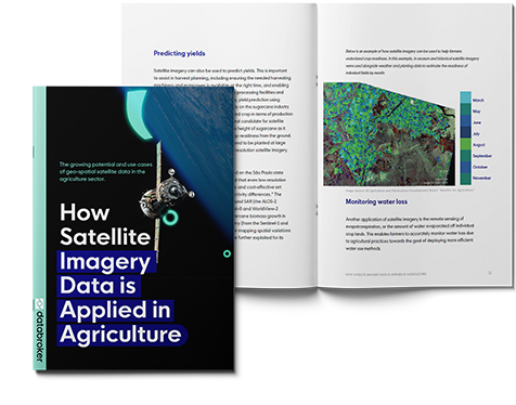
USE CASE GUIDE
Use cases & strategic insights inside!
This use case guide reveals:
- How farmers, insurance providers, and companies engaged in manufacturing agro products can leverage geo-spatial satellite data to increase overall efficiency and profitability.
- Why satellite imagery data have value to authorities to understand and improve food security and enhance wellbeing.
- How satellite imagery can reduce environmental impact and bolster sustainability measures.


