×
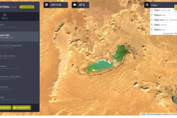
Sentinel Hub is a multi-spectral and multi-temporal big data satellite imagery service, capable of fully automated archiving, real-time processing and distribution of remote sensing data and related EO products. Users can use APIs to retrieve satellite da

Sentinel Hub is a multi-spectral and multi-temporal big data satellite imagery service, capable of fully automated archiving, real-time processing and distribution of remote sensing data and related EO products. Users can use APIs to retrieve satellite da

Category : Environment

Sentinel-1 GRD ************** SAR data by the Copernicus Sentinel-1 mission Global since January 2017 Sentinel-2 L1C ************** MSI data by the Copernicus Sentinel-2 mission ****************** Area : Global since November 2015 Sentinel-2 L2A ************** Atmospherically corrected MSI data by the Copernicus Sentinel-2 mission Area : Europe since March 2017, Global since December 2018 Digital Elevation Model ********************** Digital elevation model data by Mapzen Area : Global
Sentinel Hub (Slovenia) on databroker
Data Provided by : Sentinel Hub

All data products from Sentinel Hub

Contact Data Provider
Description
Sentinel-1 GRD
**************
SAR data by the Copernicus Sentinel-1 mission
Global since January 2017

Sentinel-2 L1C
**************
MSI data by the Copernicus

Sentinel-2 mission
******************
Area : Global since November 2015

Sentinel-2 L2A
**************
Atmospherically corrected MSI data by the Copernicus Sentinel-2 mission
Area : Europe since March 2017, Global since December 2018

Digital Elevation Model
**********************
Digital elevation model data by Mapzen
Area : Global
Use Cases
Satellite imagery is changing the way we observe and see our planet. Since the beginning of the Copernicus programme we can notice its presence in numerous use-cases. Here are just a few of the latest highlights from our Sentinel Hub blog!
Visit https://medium.com/sentinel-hub for more

"Satellite Imagery for Journalism and Media”
People using satellite imagery from other sources or maybe even creating their own, aren’t always trained in doing so, which of course can lead to some mistakes. Those mistakes are usually not a problem for a private user doing some research, but for a journalist who is going to publish the images it is a problem, especially when the images are used as a source or proof of some aspects of their story.

"Environmental Monitoring"
Environmental Monitoring of Conflicts will give you more insights on how Earth Observation can be utilized in conflicts research. It includes some key moments capturing significant environmental threats caused directly or indirect
Data Products
Product Name Access Period Price Purchase View